
Massachusetts, September 6, 2025
News Summary
Severe storms and tornado warnings swept through western and central Massachusetts, prompting urgent safety reminders for golfers. Communities including Hampshire and Franklin counties experienced intense conditions with warnings causing significant disruptions in outdoor activities. Golfers were urged to seek immediate shelter as dangerous weather, including golf ball-sized hail and straight-line winds, threatened safety on the course. Authorities continue to monitor evolving weather conditions while instructing golfers to stay informed and prioritize safety.
Springfield
Tornado warnings and severe storms rolled across western and central Massachusetts Saturday, sending golfers off the greens and prompting urgent safety reminders.
A fast-moving line of storms that began in New York swept east into Massachusetts after 1 p.m., and by mid-afternoon several counties were under active alerts. The situation moved quickly: warnings that started in Northern Dutchess and Southwestern Columbia counties in New York earlier in the day shifted into Massachusetts towns and counties, and some warnings have since expired as storms moved east.
Where the danger was focused
The most intense activity was in inland areas, especially Central and Western Massachusetts. Counties affected by tornado warnings included southwestern Hampshire, western Hampden, northwestern Franklin, and Berkshire counties, with some alerts also touching parts of Connecticut. Specific towns under tornado warnings at various points included Russell, Granville, Chester, Blandford, Tolland, Westfield, Huntington, Montgomery, Southwick, Southampton, Westhampton, Northampton, and Easthampton.
Timing matters: the tornado warning in Hampden County ran at least until 3:00 p.m., while Franklin County had a warning in effect until 2:45 p.m. One of the severe cells was officially located over Shelburne near Greenfield moving northeast at about 40 mph as of 2:31 p.m. Earlier, at 1:55 p.m., a storm capable of producing a tornado was near Copake, roughly 10 miles southwest of Great Barrington, moving northeast at about 30 mph.
What golfers need to know
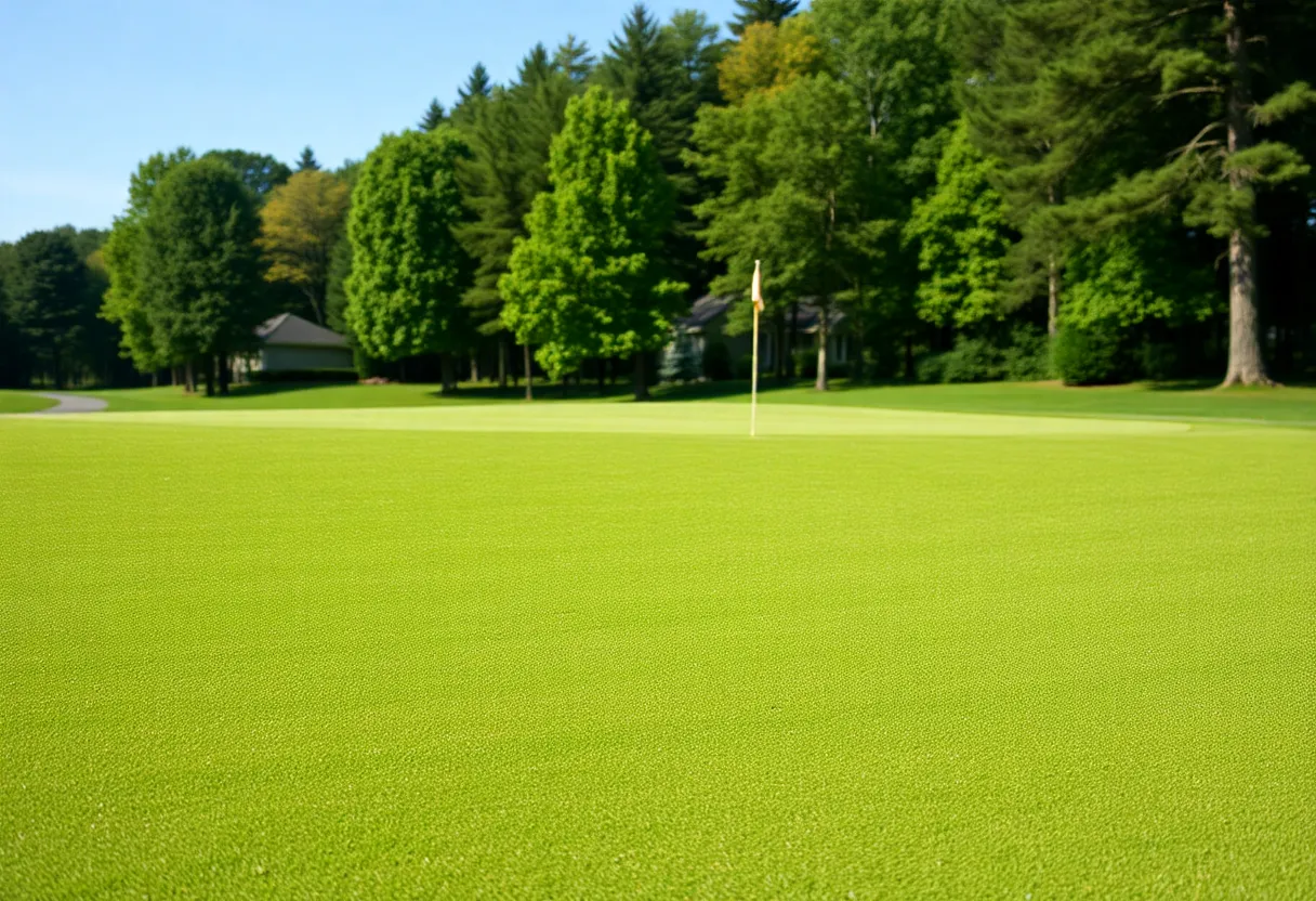
As an expert golf writer talking straight to players and club staff: if you were on the course, it was time to close down play and get inside. Clubhouses, basements, or the lowest solid part of a building are the places to be. Avoid windows, open pavilions, and metal golf carts. A wet fairway is annoying; a hail-dented bag or flying debris is dangerous. The storms brought the risk of golf ball-sized hail, damaging straight-line winds, and lightning — all things that can ruin a round and, more importantly, cause serious injury.
For course staff and tournament directors: if you didn’t already suspend play, do it now and move players to sturdy shelter. Flagsticks, scoreboard tents, and loose signage can become projectiles. Consider securing equipment and notifying members through text or clubhouse channels. If you’re in the clubhouse, avoid glassed-in areas and move to interior rooms when possible.
How the threat changed through the day
After 1 p.m., a series of thunderstorms marched east across the region. Forecasters noted the storms would be strongest inland, with the greatest potential for severe weather continuing through 8 p.m. Coastal areas — including the Boston and Providence corridors — were expected to see a lower immediate threat as storms tend to weaken over the cooler coastal air, with eastern Massachusetts possibly remaining rain-free during daylight hours. A later chance for strong thunderstorms in eastern parts was expected between about 7 p.m. and 11 p.m., and the overall line was forecast to weaken after sunset with only scattered showers lingering into Sunday.
Safety essentials
- Take cover immediately: Basements or interior rooms on the lowest floor of sturdy buildings are safest. Avoid windows.
- Golf cart caution: Do not shelter under trees or in metal carts.
- Protect gear: Hail can damage clubs, bags, and vehicles — move them under cover quickly.
- Watch the clock: Warnings and watches shift fast — the severe thunderstorm watch covered many counties until 8 p.m.
Overall risk picture
The National Weather Service flagged the environment as favorable for severe thunderstorms and possible isolated tornadoes, alongside hazards like dangerous lightning, damaging wind gusts, flooding rain, and large hail. The greatest risk was northwest of Boston and across inland central and western counties. Coastal spots had a somewhat lower short-term risk, but the threat could return later in the evening for eastern areas.
Keep checking updates
Conditions changed quickly, and warnings were issued and allowed to expire as the storm line moved. If you’re planning golf for the rest of the day or managing a club, keep monitoring official weather updates and make safety your first call before resuming play.
Frequently Asked Questions
Q: Can I stay in my golf cart during a tornado warning?
A: No. Golf carts offer virtually no protection from tornadoes, lightning, hail, or flying debris. Move to a sturdy building immediately.
Q: Will hail damage my golf clubs and car?
A: Yes. Forecasts mentioned golf ball-sized hail, which can dent vehicles and damage club heads. Store gear in covered areas if possible.
Q: Are coastal courses safer than inland ones today?
A: Inland courses faced a higher immediate threat and stronger storms through the afternoon. Coastal areas had a lower threat during daylight but could see storms later in the evening.
Q: When did the warnings expire?
A: Some warnings issued for counties and towns expired as storms moved east. Specific times varied; Hampden County had a warning through about 3:00 p.m., Franklin through about 2:45 p.m., and a region-wide watch remained in effect until 8 p.m.
Q: Where can I get live updates?
A: Check official weather alerts and local emergency channels for the latest warnings and watches. If you are at a club, follow the course’s emergency procedures.
Quick Reference Table
| Item | Detail |
|---|---|
| Primary counties under warning | Southwestern Hampshire, Western Hampden, Northwestern Franklin, Berkshire (plus parts of Connecticut) |
| Towns mentioned | Russell, Granville, Chester, Blandford, Tolland, Westfield, Huntington, Montgomery, Southwick, Southampton, Westhampton, Northampton, Easthampton |
| Key times | Hampden warning until ~3:00 p.m.; Franklin warning until ~2:45 p.m.; Severe thunderstorm watch until 8:00 p.m. |
| Storm motion | Moving northeast at ~30–40 mph (locations noted near Copake and Shelburne) |
| Major hazards | Isolated tornadoes, damaging straight-line winds, golf ball-sized hail, dangerous lightning, heavy rain/flooding |
| Top safety steps for golfers | Stop play, get inside a sturdy building, avoid windows and metal carts, protect gear from hail |
Stay safe, keep your head down off the fairway, and let the course staff call the shots until the sky clears.
Deeper Dive: News & Info About This Topic
HERE Resources
Severe Thunderstorms Expected in Greater Boston This Weekend
Severe Heat Wave Hits New England
Severe Thunderstorm Watches and Flash Flood Alerts in Boston
Severe Thunderstorms and Job Losses Impact Massachusetts
Boston Set to Face Its First 90-Degree Day of the Year
Heat Advisory Issued for Southern New England Amid Storm Predictions
Flash Flood Warning Issued for Boston Amid Heavy Rainfall
Additional Resources
- Boston 25 News
- Wikipedia: Tornado warning
- WCVB News
- Google Search: Tornado Warning Massachusetts
- NBC Boston
- Google Scholar: Tornado Warnings
- MassLive
- Encyclopedia Britannica: Tornado
- WHDH News
- Google News: Tornado Massachusetts
Author: STAFF HERE BOSTON WRITER
The BOSTON STAFF WRITER represents the experienced team at HEREBoston.com, your go-to source for actionable local news and information in Boston, Suffolk County, and beyond. Specializing in "news you can use," we cover essential topics like product reviews for personal and business needs, local business directories, politics, real estate trends, neighborhood insights, and state news affecting the area—with deep expertise drawn from years of dedicated reporting and strong community input, including local press releases and business updates. We deliver top reporting on high-value events such as Boston Marathon, Head of the Charles Regatta, and Boston Harborfest. Our coverage extends to key organizations like the Greater Boston Chamber of Commerce and Associated Industries of Massachusetts, plus leading businesses in finance, biotech, and insurance that power the local economy such as Fidelity Investments, Biogen, and Liberty Mutual Insurance. As part of the broader HERE network, we provide comprehensive, credible insights into Massachusetts's dynamic landscape.