News Summary
Boston is preparing for a week of tropical-style humidity and rising temperatures, with the worst heat expected midweek. The National Weather Service warns of severe thunderstorms, especially in western Massachusetts, risking flash flooding. As temperatures soar into the upper 80s and low 90s, residents are urged to stay hydrated and follow cooling measures. The potential for a heat wave looms, as heat index values may reach dangerous levels. Given recent flooding incidents, authorities are advising caution and alertness for further weather developments.
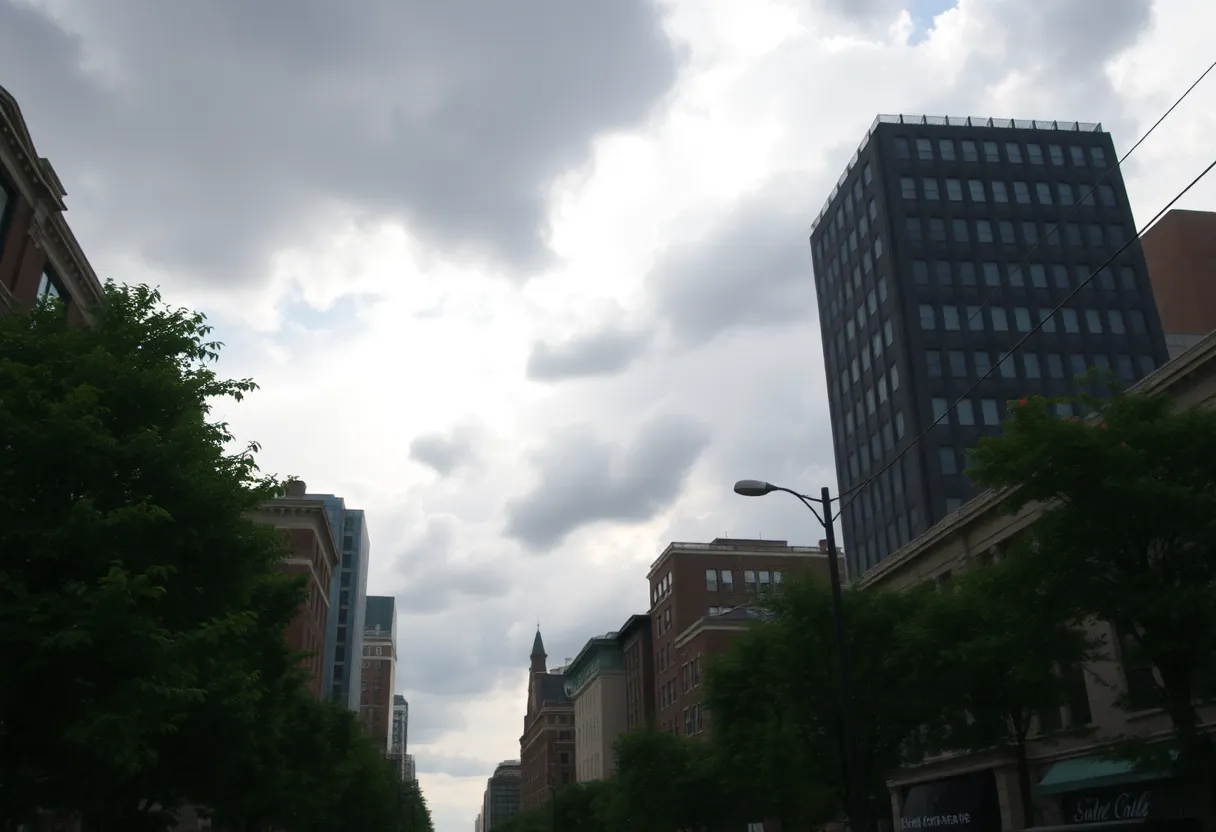
Boston is bracing for a week of tropical-style humidity and heat, according to forecasts from the National Weather Service (NWS). The city can expect a muggy atmosphere and temperatures climbing throughout the week, with the most intense heat slated for midweek. The forecast raises concerns about the potential for severe thunderstorms and flash flooding, particularly in western Massachusetts.
The NWS predicts that humidity will persist until Friday, with temperatures gradually trending warmer each day. Initial conditions on Monday indicate a mostly cloudy day with patchy fog before 7 a.m. High temperatures are expected to reach the mid-80s, although there is a low chance of rain and isolated thunderstorms in the late afternoon.
However, thunderstorms are forecasted to be concentrated more in western regions, primarily affecting Springfield and surrounding areas. These storms come with a risk of becoming strong to severe, bringing heavy downpours that may lead to localized flash flooding due to ample moisture in the atmosphere.
As the week progresses, temperatures are expected to soar further, with highs from Tuesday through Thursday predicted to reach the upper 80s to low 90s. This rise in temperature, coupled with high humidity levels, could produce feels-like temperatures heaving into the upper 90s to low 100s. Consequently, potential heat advisories may be issued as a precautionary measure.
Residents are urged to take measures to stay cool and hydrated, especially during outdoor activities. The likelihood of additional showers and thunderstorms remains low toward the midweek period, although some isolated activity cannot be ruled out on Tuesday and Wednesday. A more pronounced risk of scattered showers and thunderstorms arises as the week approaches Thursday and Friday.
In light of the severe weather potential, residents are encouraged to enable flood warnings and alerts on their mobile devices to stay informed of any emergencies. There is an increased risk of a heat wave forming, defined by at least three consecutive days of temperatures at or above 90 degrees Fahrenheit. As the heat rises, the combination of high temperatures and humidity creates an uncomfortably high heat index.
The recent weather events have raised concerns in Boston, especially following significant flooding caused by prior thunderstorms that resulted in stranded vehicles and temporary road closures on key routes such as I-93. Reports indicate that over four inches of rain fell in certain areas, including Norwood, Canton, and Milton, exacerbating the situation for local drivers. As flooding receded later in the day, affected highways were reopened, but the Massachusetts Emergency Management Agency (MEMA) continues to advise caution, discouraging drivers from navigating flooded roads.
As the week unfolds, the forecast shows dew points remaining in the 70s, leading to thick air. This condition supports the likelihood of thunderstorms developing as the weather patterns shift. Vulnerable populations such as pets, the elderly, and young children are particularly advised to take precautions during this extreme heat and potential stormy week ahead.
The NWS will continue to monitor conditions and provide updates to help residents prepare for the challenges posed by the forecasted weather, including heat management and storm readiness. This week promises to test the resilience of the Boston area as it navigates through the challenges of intense heat and the threat of severe thunderstorms.
Deeper Dive: News & Info About This Topic
HERE Resources
Boston Experiences Hottest June Day on Record
New South Coast Rail Service Enhances Fall River Transport
Boston Prepares for Intense Heat Wave and Thunderstorms
Severe Thunderstorms Disrupt Fourth of July Plans in New England
New Dining Experiences Set to Open in Greater Boston
Severe Thunderstorms Leave Massachusetts Residents in the Dark
Casting Opportunities for Aspiring Actors in Boston
New Dining Experiences Launch Across Greater Boston
New England Weather Outlook for the Fourth of July
Record Number of Travelers Expected for Independence Day
Additional Resources
- Boston Herald
- Wikipedia: Weather
- Boston 25 News
- Google Search: Boston weather warnings
- Boston Globe
- Google Scholar: Boston weather
- NBC Boston
- Encyclopedia Britannica: Weather

Author: STAFF HERE BOSTON WRITER
The BOSTON STAFF WRITER represents the experienced team at HEREBoston.com, your go-to source for actionable local news and information in Boston, Suffolk County, and beyond. Specializing in "news you can use," we cover essential topics like product reviews for personal and business needs, local business directories, politics, real estate trends, neighborhood insights, and state news affecting the area—with deep expertise drawn from years of dedicated reporting and strong community input, including local press releases and business updates. We deliver top reporting on high-value events such as Boston Marathon, Head of the Charles Regatta, and Boston Harborfest. Our coverage extends to key organizations like the Greater Boston Chamber of Commerce and Associated Industries of Massachusetts, plus leading businesses in finance, biotech, and insurance that power the local economy such as Fidelity Investments, Biogen, and Liberty Mutual Insurance. As part of the broader HERE network, we provide comprehensive, credible insights into Massachusetts's dynamic landscape.


